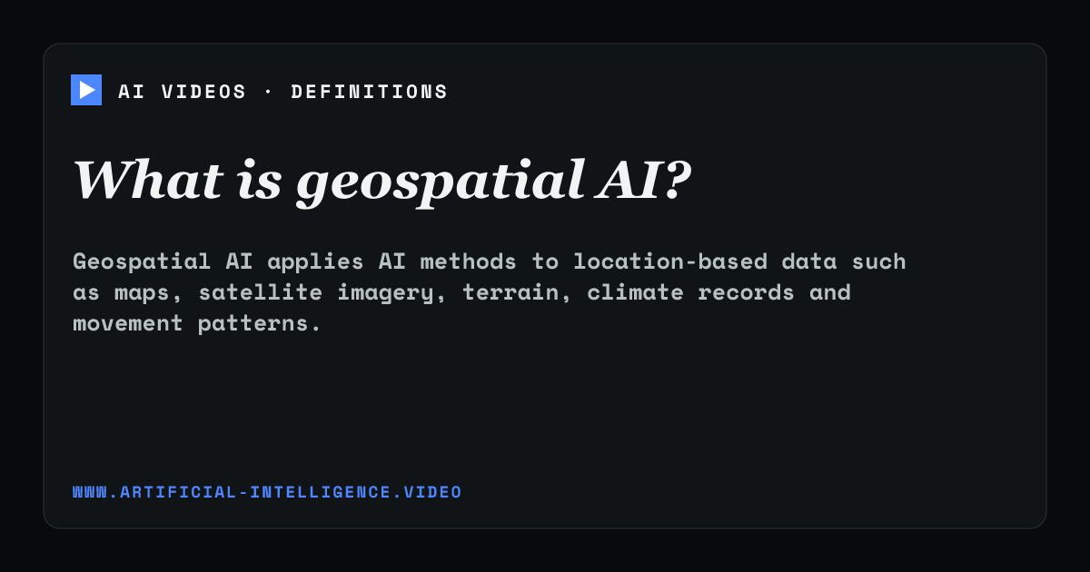
Geospatial AI combines machine learning with data tied to places on Earth. Systems can prepare geographic datasets, recognize patterns across regions, model change and estimate risks involving weather, disease, food security, infrastructure or land use.
Location data has spatial and temporal dependencies that ordinary tabular analysis may miss. Useful systems need careful coordinate handling, coverage checks and uncertainty reporting. Predictions can affect public decisions, so gaps in data and unequal regional accuracy require scrutiny.
ELI5
Geospatial AI applies AI to information connected with locations on Earth, such as maps, satellite images, terrain, climate records and movement. It looks for patterns that depend on both place and time.
For example, a system can combine satellite images and weather data to estimate crop stress across regions. It must handle coordinates correctly and report uncertainty because missing coverage or lower accuracy in one region can affect public decisions.
What data does geospatial AI use?
It can use satellite and aerial imagery, maps, coordinates, sensor observations, weather records, elevation, mobility data and other information connected to time and location.
What is geospatial AI used for?
Applications include environmental monitoring, disaster response, agriculture, epidemiology, transport planning, mapping and estimates of geographic risk.